 vesseltracker.com
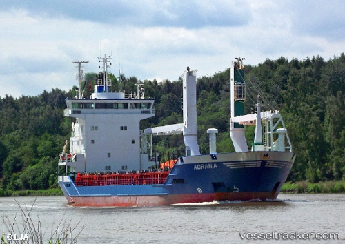
Vessel MC LIBERTY IMO: 9157143, MMSI: 548717500 General Cargo Ship
UTC, 14.61707, 120.90873, course: 142, speed: 0
UTC, 14.61702, 120.90866, course: 136, speed: 0
2026-03-04 16:00:27 UTC, 14.61683, 120.90845, course: 118, speed: 0
Live Vessel MC LIBERTY Analytics (details, animations, etc.)
Live AIS position: UTC. Near Malabon), updated 2026-03-04 16:00:27 UTC.Find the position of the vessel MC LIBERTY on the map. The latter are known coordinates and path.
marine traffic ship tracker show on live map
The current position of vessel MC LIBERTY is 14.61683 lat / 120.90845 lng. Updated: 2026-03-04 16:00:27 UTCCurrently sailing under the flag of Philippines
MC LIBERTY built in 1997 year
Deadweight:
6366 tDetails:
Last coordinates of the vessel:
UTC, 14.61715, 120.90884, course: 149, speed: 0UTC, 14.61707, 120.90873, course: 142, speed: 0
UTC, 14.61702, 120.90866, course: 136, speed: 0
2026-03-04 16:00:27 UTC, 14.61683, 120.90845, course: 118, speed: 0